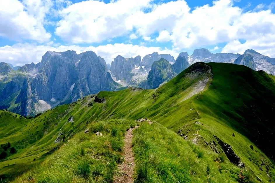
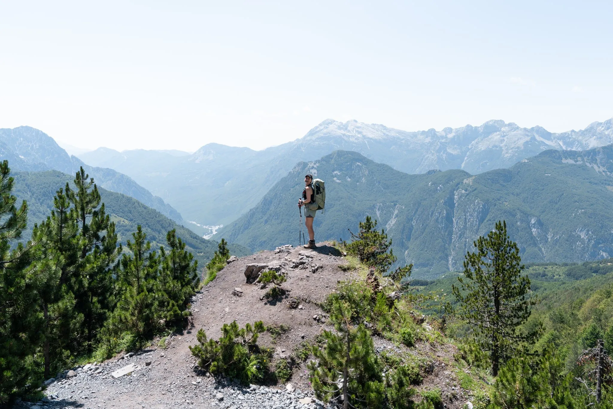
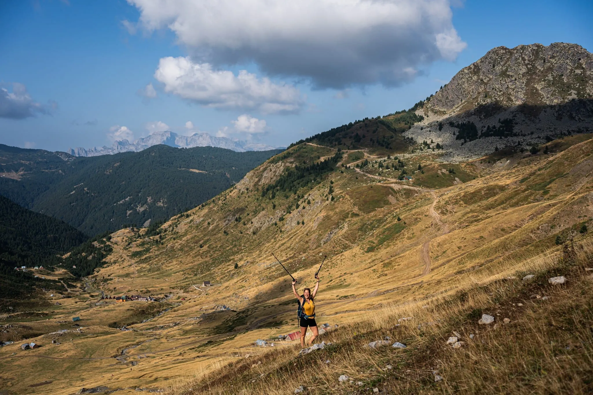
What is the Peaks of the Balkans trail? The complete guide for 2027
Short answer
The Peaks of the Balkans is a waymarked loop of about 192 km through the Accursed Mountains (Prokletije) of Albania, Kosovo and Montenegro. Most hikers walk it in 10 stages of 13–22 km, staying in village guesthouses with half board, between late June and September. You cross borders on mountain paths, so you need a free or low-cost border permit for each country, requested at least two weeks before you go.
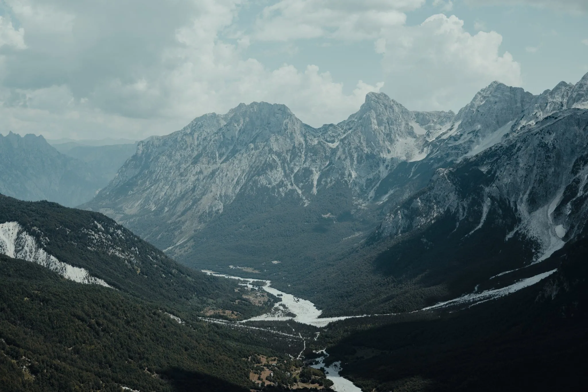
The Peaks of the Balkans opened in 2012 as a cross-border trail meant to bring hikers – and income – to remote mountain villages. It links shepherd settlements, high passes and glacial lakes across three countries, and it is now one of the most popular multi-day treks in Europe outside the Alps. The best-known section, Theth to Valbonë, sees tens of thousands of hikers every summer.
The trail in numbers
| Distance | about 192 km (official figure; GPS tracks vary) |
| Stages | 10, usually 13–22 km each |
| Total ascent | about 9,800 m |
| Highest points on the main route | passes and ridges between 1,700 and 2,300 m |
| Countries | Albania, Kosovo, Montenegro |
| Season | late June – September (mid-June to mid-October in good years) |
| Accommodation | guesthouses and summer shepherd huts, usually half board |
| Permits | border permit for each country, apply about 15 days ahead |
Where does it start?
The trail is a loop, so you can join it anywhere with road access. The most common starting points are:
- Theth (Albania), the classic start, walking anticlockwise towards Valbonë on day 1.
- Valbonë (Albania), often reached via the Komani Lake ferry.
- Plav or Vusanje (Montenegro), a good option if you fly into Podgorica.
- Drelaj or Rekë e Allagës near Peja (Kosovo), if you arrive from Pristina.
See getting to Theth for transport and the stage-by-stage overview for the full route.
The 10 stages at a glance
| # | Stage | Country |
|---|---|---|
| 1 | Theth → Valbonë | Albania |
| 2 | Valbonë → Çerem | Albania |
| 3 | Çerem → Dobërdol | Albania |
| 4 | Dobërdol → Milishevc | Albania → Kosovo |
| 5 | Milishevc → Rekë e Allagës | Kosovo |
| 6 | Rekë e Allagës → Drelaj | Kosovo |
| 7 | Drelaj → Babino Polje | Kosovo → Montenegro |
| 8 | Babino Polje → Plav (via Hrid Lake) | Montenegro |
| 9 | Plav → Vusanje | Montenegro |
| 10 | Vusanje → Theth (via the Peja Pass) | Montenegro → Albania |
What you need to arrange
- Border permits. Walking from one country into another away from an official border post requires a permit from each country’s border police. See permits.
- Beds. Guesthouses fill up in July and August; book the busy villages (Theth, Valbonë, Vusanje) in advance. See where to sleep.
- Navigation. The waymarking is good in Albania and Montenegro but patchy in parts of Kosovo. Carry an offline GPX track.
- Cash. Many guesthouses take cash only, and there are few ATMs along the route (Plav is the main one).
How difficult is it?
It is a demanding but non-technical trek: long days, steep climbs of 800–1,200 m, rocky descents and sometimes snowfields in early summer. Good fitness and some multi-day hiking experience help. See how hard is the Peaks of the Balkans.
Do you have to walk the whole loop?
No. Many hikers walk 5 to 7 days and skip the long or less scenic sections with a local transfer. The Theth – Valbonë crossing, the Dobërdol plateau, Hrid Lake and the Ropojana valley to Vusanje are the highlights most people want to include. Organised trips such as The Balkan Trail follow exactly that idea: the best sections on foot, the permits and transfers taken care of.
Sources
Peaks of the Balkans – official site, Prokletije National Park, Montenegro, Zbulo – permits and route information.